Explore Wayanad
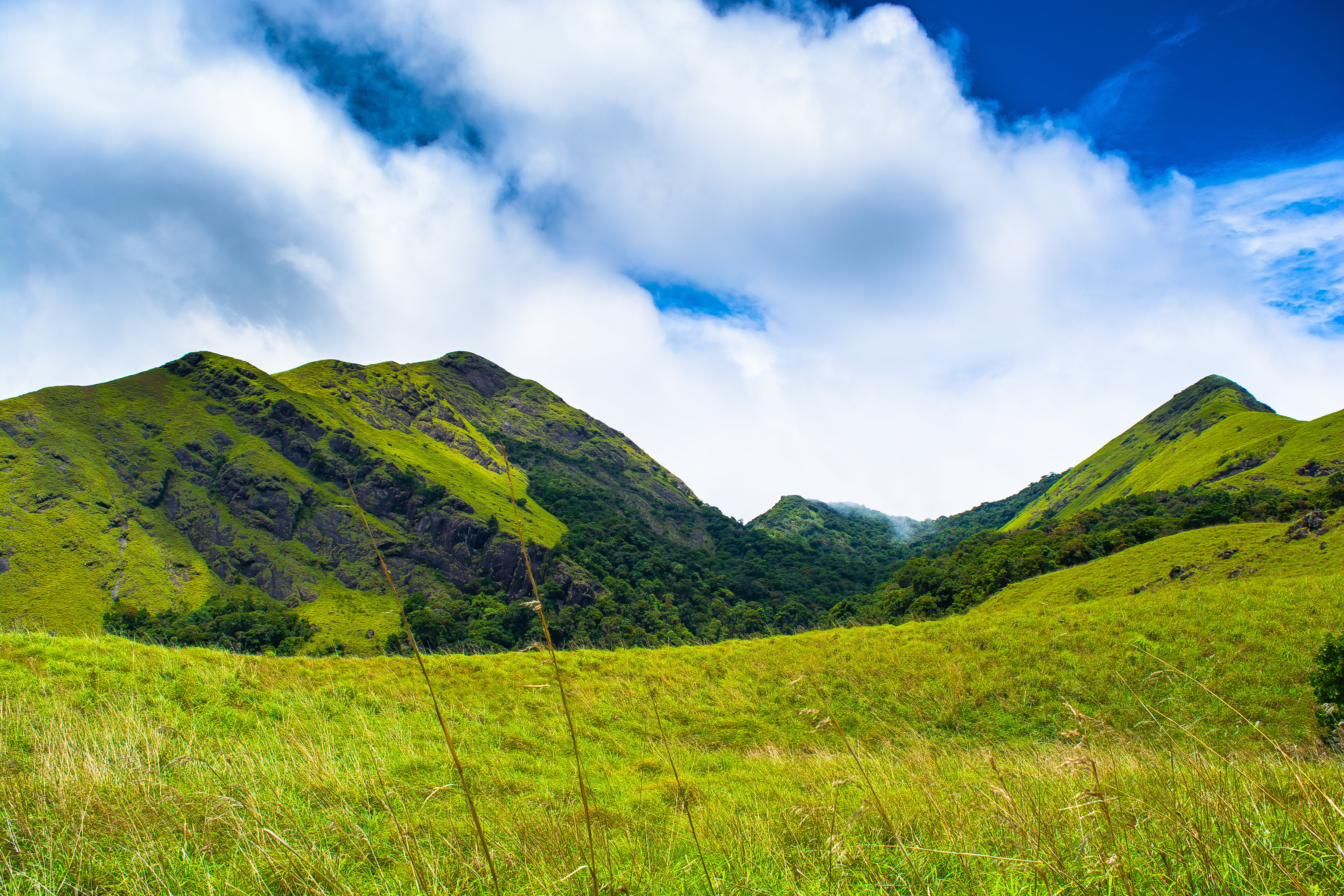
Wayanad district (Malayalam: [ʋɐjɐnaːɖɨ̆]), or Wynad, is a district in the north-east of the Indian state of Kerala, with its administrative headquarters at the municipality of Kalpetta. It is the only plateau in Kerala. The Wayanad Plateau forms a continuation of the Mysore Plateau, the southern portion of the Deccan Plateau. It is set high in the Western Ghats with altitudes ranging from 700 to 2,100 meters and some areas resemble to Eastern Ghats including Kolagapara, Kurumbalakotta and some parts of Vadakkanad and Chekadi. Vellari Mala, a 2,240 m (7,349 ft) high peak situated on the trijunction of Wayanad, Malappuram, and Kozhikode districts, is the highest point in Wayanad district. The district was formed on 1 November 1980 as the 12th district in Kerala, by carving out areas from Kozhikode and Kannur districts.